Greetings

Welcome to The Tempest Pursuers! We are passionate storm chasers dedicated to the thrilling and awe-inspiring world of storm chasing. Our team is committed to safely observing and documenting incredible weather phenomena, providing you with an unforgettable adventure and breathtaking visuals of nature's most powerful forces.

Meet the Team
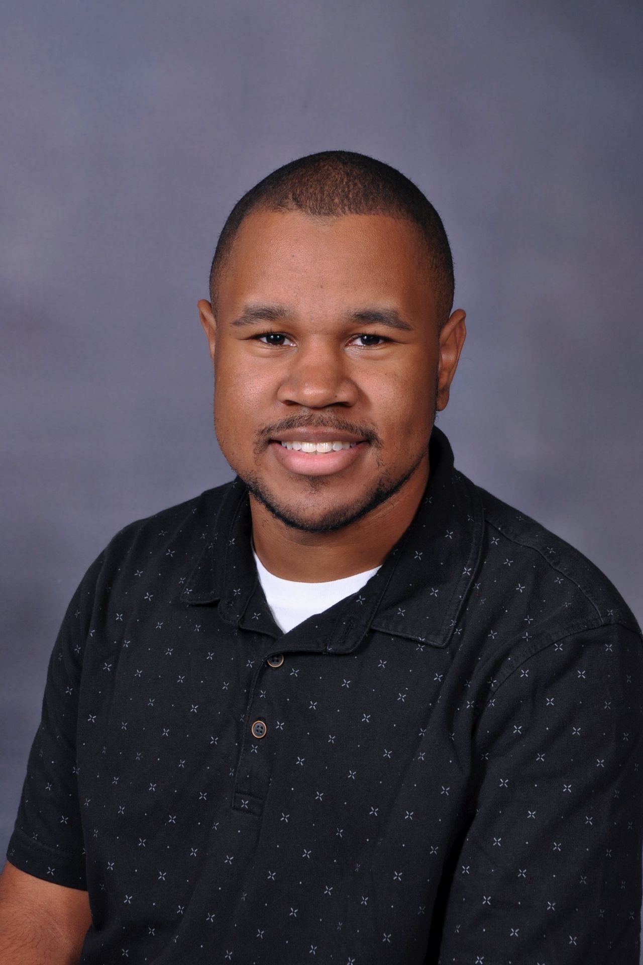
Smiling person wearing a dark patterned shirt with a gray background.

Nikolas King

Nikolas is a skilled radar navigator and spotter, specializing in tracking severe weather with precision. Using advanced radar technology, he helps monitor storm development and movement, ensuring his team stays safe while capturing crucial data.

e-mail

Person in a blue suit and tie with a neutral expression against a blurred background.

Gil Lara-Perez

Gil is an experienced driver and photographer, with a passion for capturing the raw power of extreme weather. As a skilled driver, he navigates through hazardous conditions to stay ahead of storms. With a keen eye for photography, he captures stunning and dramatic images of severe weather, sharing the awe-inspiring beauty of nature’s most intense moments. 

e-mail

Social Media

Friday (5/22) Severe Weather Outlook: There will be a risk of severe thunderstorms Friday evening into the overnight hours. The greatest risk will be across western OK into western-north TX with the primary hazards being damaging wind gusts and large hail.SUMMARY...The severe threat may increase over northern OK over the
  next few hours as storms back-build southwestward along a southward
  drifting cold front. Severe gusts are the main threat, though an
  instance or two of hail or a tornado are possible. Convective trends
  are being monitored for the need of a WW issuance.

  DISCUSSION...Robust multicellular convection, with a history of
  measured severe gusts, has been steadily back-building
  west-southwestward along and immediately behind a southward sagging
  cold front. Despite weak upper support, strong low-level convergence
  has been supporting persistent convective development, especially
  given a 50 kt southerly low-level jet bisecting the cold front
  nearly perpendicularly. Ahead of the front, upper 60s F surface
  dewpoints beneath 8-9 C/km mid-level lapse rates are yielding 3000+
 J/kg MLCAPE per the 00Z OUN/LMN soundings and 02Z mesoanalysis.
 These same data sources also depict sizeable low-level hodographs
  with 300 m2/s2 effective SRH and 40+ kts of effective bulk shear. As
  such, the ambient environment clearly supports severe potential.

  The primary uncertainty is how far southwest convection will
  initiate along the southward-sagging front, and the timing for
  storms to propagate into OK. The current thinking is that storms
  capable of severe gusts will eventually propagate southward into
  north-central and northeast OK. An instance or two of severe hail
  could accompany the stronger storm cores, and a tornado cannot be
  ruled out if a robust updraft can outpace the cold front. Convective
  trends will continue to be monitored for convective propagation into
  OK.Update on the AvalancheShe’s alive!!!First pic doesn’t do much justice, but something about high-pressure sodium lighting just hits different…brings back a lot of nostalgia.Severe storm risks will exist today throughout the beginning of next week. This afternoon and evening, storms will be possible across parts of western OK, and western-north TX, with large hail, damaging winds, and a very low tornado potential. Tomorrow brings another risk for severe weather with similar hazards. The highest severe storm potential for our area is on Monday, with all modes of severe weather being possible.

Chase the Storm Safely

Storm chasing can be an exhilarating and important way to study extreme weather, but safety should always be your top priority. Here are key tips to ensure you stay safe while chasing storms:

Know the Risks: Severe weather like tornadoes, hail, and flash floods can be unpredictable and dangerous. Always assess the risk before heading into the field.

Have a Plan: Make sure you have a clear escape route in case of sudden changes in storm behavior. Know your surroundings and have an emergency plan in place.

Use Reliable Technology: Rely on accurate radar and weather apps to track storm developments in real-time. Stay updated with weather alerts and forecasts.

Stay Informed: Keep in constant communication with your team. Let someone know your location and plans before you head out.

Never Get Too Close: Keep a safe distance from tornadoes, downed power lines, and floodwaters. Your safety is more important than getting the perfect shot or data.

Be Prepared: Equip your vehicle with emergency supplies, including food, water, first-aid kits, and fully charged communication devices.

Respect Nature: Always remember that you are chasing unpredictable forces of nature. Stay alert, stay cautious, and respect the power of the storm.

Storm chasing is about knowledge, preparation, and safety. Keep these tips in mind to protect yourself and your team while exploring nature’s most powerful phenomena.

Stay safe, stay smart, and chase responsibly!
This website uses cookies